The French-American Surface Water and Ocean Topography (SWOT)
The French-American Surface Water and Ocean Topography (SWOT)
The French-American Surface Water and Ocean Topography (SWOT)
SUMMARY
French-American space cooperation reaches from the sky above to the ocean below. In December 2022, the French-American Surface Water and Ocean Topography (SWOT) mission launched from the Vandenberg Space Force Base in Central California. The satellite is integral to understanding "how much water flows into and out of Earth’s freshwater bodies and will provide insight into the ocean’s role in how climate change unfolds.
"The measurements from the spacecraft’s science instruments will also help communities monitor and plan for changing water resources as well as the effects of sea level rise. SWOT is a joint mission developed by NASA and the French space agency Centre National d’Études Spatiales (CNES), with contributions from the Canadian Space Agency and the UK Space Agency.”
Just as the Little Prince looks after his planet, we must look after ours.
More about the SWOT mission on the NASA/JPL and CNES websites.

Metadata
Release date: January 31, 2023
Tag(s): Environment, Friendship, Science
Metadata
Release date: January 31, 2023
Tag(s): Environment, Friendship, Science

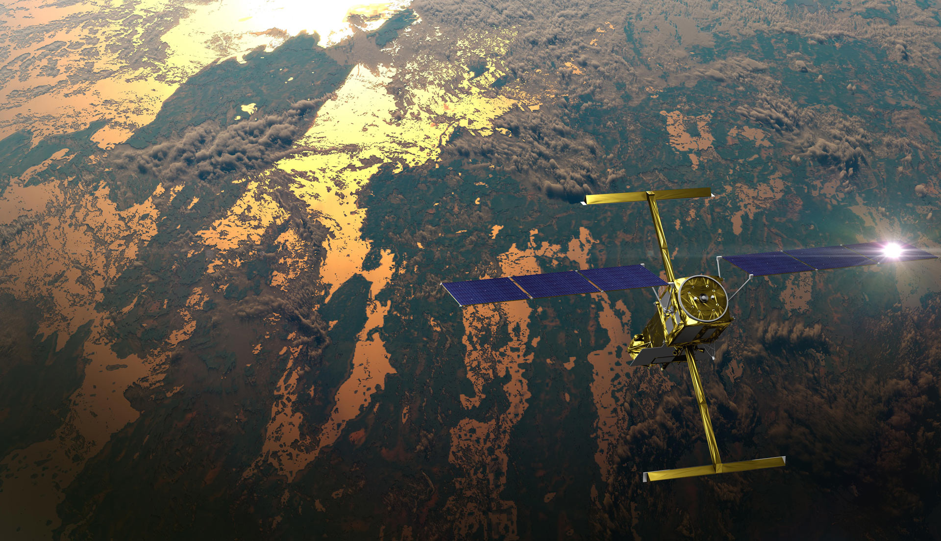
This illustration shows the SWOT satellite in orbit with sunlight glinting off one array of solar panels, as well as both KaRIn instrument antennas deployed. [Click to enlarge]
Related posts